


Posters and maps should be brought to Argentina already printed (But not framed or mounted, please).
We acknowledge your understanding and cooperation.

---------------------------------------------------------------------------------------------------
THE GEOLOGICAL MAP OF MY COUNTRY
Exhibition of Geologic maps of participating countries
In order to unify the size of the maps they will be printed at a maximum dimension fo 1.00m by 0,90m. Please send the files in good definition in order to avoid pixellation at that size. Represent the geology in terms of the age of the rocks, grouped as Precambrian, Paleozoic, Mesozoic and Cenozoic and using the international code of colors. Geographic names should be given in the local language. Cartographic projection should be identified and at least the coordinates (Lat and Long) of the four corners of the map should be included. North will be pointing up, as in standard geological maps.
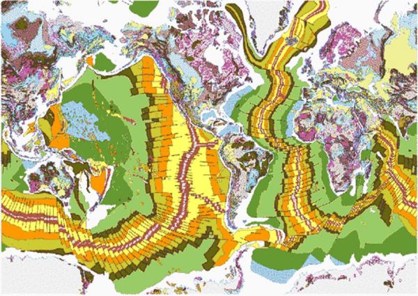
For the comparison of the relative sizes of the participating countries a mural geological map of the whole world will be included in the exhibition.
---------------------------------------------------------------------------------------
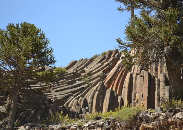
OUTSTANDING GEOLOGICAL FEATURE OF MY COUNTRY
Poster contest
The students should prepare a poster presenting and describing a relevant geological site of their country. Use maps, photographs and text to prepare it. Be careful not to use too much written information or too small letter sizes (the text should be readable from a distance of about 0,80m from it). The size of the posters has been established as 0,90m (horizontal) by 1,00m (vertical) and the language will be English.
Posters and maps should be brought to Argentina already printed (But not framed or mounted, please).
We acknowledge your understanding and cooperation.